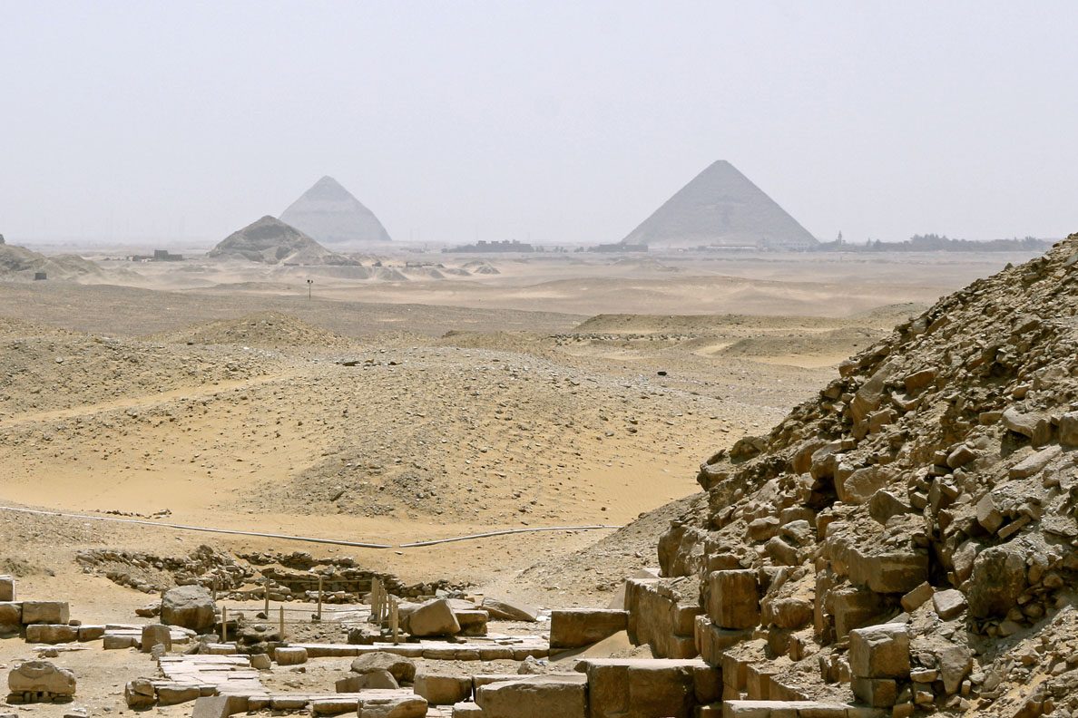
On the Dahshur plateau, some thirty kilometres south of Cairo, two long stone embankments cross the ancient bed of the Wadi Dahshur. Recorded on Jacques de Morgan's map in 1897, photographed by the Royal Air Force in 1925, they had always been attributed to simple hauling ramps associated with work on the nearby pyramids. A study published in July 2026 in npj Heritage Science by three engineers -- Xavier Landreau, Guillaume Piton and Sayed Hemeda -- completely overturns this reading: these structures are not ramps but dams, built under the reign of PharaohPharaohThe title of the ruler of ancient Egypt, regarded as a living god guaranteeing cosmic order (Maat), supreme head of state, army and worship.→ Sneferu around 2550 BC to supply water to the construction site of the Red Pyramid.1
Two structures too wide for ramps
The first thing that strikes the researchers when comparing the embankments to attested ramps in ancient Egypt is their scale. Each structure runs 600 to 700 metres in length -- the equivalent of seven football pitches end to end. Their base measures between 15 and 30 metres wide. Their crest still rises 6 or 7 metres above the valley floor. A hauling ramp intended to raise limestone blocks has neither the length nor the cross-sectional morphology of these structures.
Combining multispectral satellite imagery, topographic watershed analysis and hydrological modelling, the authors show that the two embankments block precisely the natural gullies through which storm water flooded the valley during seasonal floods. The Wadi Dahshur drained a territory of 100 to 400 square kilometres of stony desert at that time. Every significant downpour sent a torrent of silt and water towards the valley, which the device was built to capture.
A two-stage hydraulic system
Landreau and colleagues' analysis reveals a device conceived in two stages. Upstream, the first and smaller dam acted as a silt trap. The silt-laden floodwater hit the embankment, slowed, and the heavier fraction settled at the bottom of a sedimentation basin. The clarified water then passed over or around this first structure to reach the second.
The main dam, located downstream, formed the reservoir proper. Its retention capacity was approximately 230,000 cubic metres -- roughly 90 Olympic swimming pools spread over 8.5 hectares. To prevent catastrophic failure during exceptional floods, the builders carved a duck-bill spillway into its crest, a triangular notch some 200 metres wide opening at 70 to 75 degrees, through which excess water discharged in a controlled manner. A canal roughly one kilometre long then ran along the eastern face of the Red Pyramid, barely 40 to 50 metres from its foundations, guiding water to the construction site.
Water at the heart of the building site
Why would Sneferu's builders have needed water in such quantities? For at least two reasons well known to Egyptologists. First, transporting limestone blocks on wooden sledges sliding over moistened sand requires a continuous water supply: the murals in the tomb of Djehutihotep at Beni Hassan clearly show workmen pouring water in front of a sledge loaded with a colossal statue. Calculated by Mark Lehner and colleagues for Giza, the water consumption of a major pyramid construction site runs to tens of thousands of litres per day.
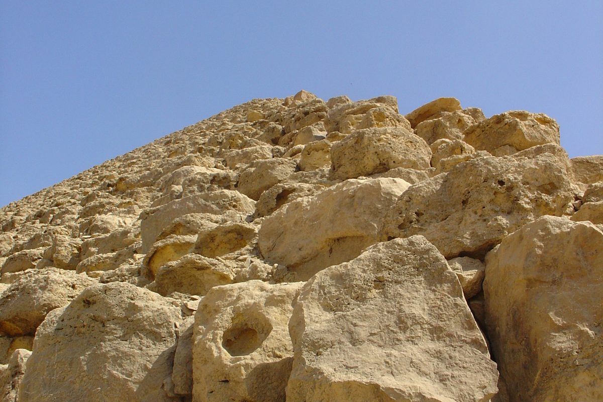
Furthermore, the mortar used to bind the blocks -- a gypsum mortar -- must be prepared as a fresh paste on site. Several tonnes of mortar were needed per day during the active construction phases. The Red Pyramid contains approximately 60,000 to 70,000 limestone blocks weighing an average of 3 to 4 tonnes each: the construction lasted several decades and the demand for water was constant.2
Among the oldest known monumental dams
Should this thesis be confirmed, the Dahshur structures would take their place among the oldest monumental hydraulic works ever identified. The authors mention the Sadd el-Kafara, a stone dam located less than 20 kilometres south of Dahshur, in the Wadi Garawi. This structure, known since Werner Kaiser's excavations in the 1970s, also dates to the Old KingdomOld KingdomThe first great period of unified pharaonic Egypt (c. 2700-2200 BC, 3rd-6th Dynasties), the golden age of the great pyramids and of a strongly centralised state.→ period and measures 113 metres at its base by 14 metres in height. It is frequently cited among the world's oldest dams confirmed by archaeological excavation, alongside the Jawa dam in Jordan (~3000 BC).3
The simultaneous existence of two comparable water retention structures within a 20-kilometre radius suggests that the Egyptian builders of the Fourth Dynasty commanded a form of large-scale hydraulic engineering, transmitted from one construction site to the next. This technical competence may not have been incidental: Sneferu built three pyramids (the Meidum pyramid, the Bent Pyramid and the Red Pyramid), representing arguably the most ambitious stone construction programme in the whole of Egyptian history. Each site required logistical organisation of resources, including water.
Material proof still to be obtained
Landreau, Piton and Hemeda remain cautious on one essential point: no archaeological excavation has yet been carried out on these embankments. Their entire argument rests on surface morphology -- readable by satellite and photogrammetry -- and on hydrological modelling. These methods are coherent and persuasive, but they are no substitute for excavation. Only a core sample taken from inside the embankment body would make it possible to verify its internal composition, to detect whether it contains layers of fluvial sedimentation (a sign of repeated inundation), and above all to date the materials by radiocarbon or thermoluminescence.
The authors therefore explicitly call for excavation and soundings. If the dating confirms the reign of Sneferu, and if the internal sediments reveal the marks of repeated filling with water, the dam thesis would be solidly established. If not, the hauling-ramp interpretation would reassert itself. The study at least has the considerable merit of having posed the question with the methodological rigour the problem demanded -- and of having shown that structures photographed since 1925 could still conceal fundamental secrets about one of Antiquity's most enigmatic construction sites.4
No comments yet. Be the first.