A model of the world carved into stone
South of Paris, in the heart of the Fontainebleau forest, a modest rock shelterRock shelterA shallow cavity at the foot of a cliff or under a rocky overhang, offering natural shelter; a favoured site of prehistoric habitation and rock art.→ has just reshaped the way we think about the intelligence of the hunters who lived at the end of the last Ice Age. At Ségognole 3, near Noisy-sur-École in the Seine-et-Marne department, humans of the PalaeolithicPalaeolithicThe oldest and longest period of prehistory (c. 3.3 Ma–12,000 BC), defined by chipped stone tools and a hunter-gatherer way of life.→ appear to have shaped a sandstone floor in order to represent, in miniature, the landscape that surrounded them. Valleys, drainage lines, confluences: everything seems to have been cut, hollowed and smoothed to display an entire territory within a few square metres. According to the researchers, this could be the oldest three dimensional representation of a landscape ever identified, a kind of model roughly 13,000 years old.1
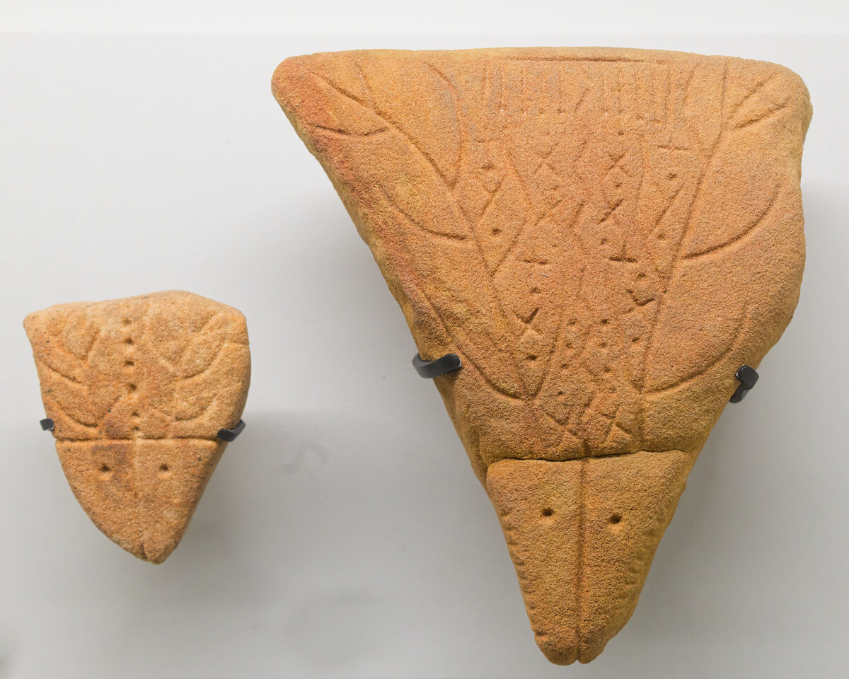
The news is genuinely surprising. We tend to imagine the first maps as lines drawn on clay or parchment, appearing alongside the great urban civilisations. Yet the idea defended here is far older and far more concrete: not a drawing, but a modelled relief, brought to life by rain, in which running water mimics the course of rivers. This hypothesis, published in 2025 in the Oxford Journal of Archaeology, extends more than forty years of observation at a site already famous for its engravings.2 It invites us to rethink the way the societies of the Paléolithique supérieurUpper PalaeolithicThe final phase of the Palaeolithic (c. 45,000 to 10,000 years ago), marked by Homo sapiensHomo sapiensThe present-day human species, which emerged in Africa around 300,000 years ago, the only surviving human lineage after the extinction of Neanderthals and Denisovans.→ in Europe, art, ornaments and a succession of cultures (AurignacianAurignacianThe earliest culture of the European Upper Palaeolithic (c. 43,000–33,000 BC), tied to the arrival of Homo sapiens and the first artworks.→, GravettianGravettianAn Upper Palaeolithic culture (c. 33,000–21,000 BC) spanning from the Atlantic to Siberia, famous for its ivory female figurines ("Venuses") and, at Dolní Věstonice, the oldest fired ceramics.→, SolutreanSolutreanA European Upper Palaeolithic culture (c. 22,000–17,000 BC), remarkable for its leaf-shaped lithic points worked with flat retouch. Contemporary with the second art phase of Cosquer Cave.→, MagdalenianMagdalenianThe last great Upper Palaeolithic culture (c. 17,000–12,000 BC), the peak of cave art (Lascaux).→).→ perceived, memorised and told the story of space.
Ségognole 3, a long known shelter
Ségognole 3 is not a last minute discovery. This rock shelter, carved into the sandstone banks of the Fontainebleau region, has been studied for more than forty years. It belongs to a set of cavities and engraved surfaces that the forest, south of the Paris basin, has preserved in a remarkable way. The local sandstone, hard at the surface but crumbly at depth when it is damp, lends itself to human work: it can be scraped, hollowed, worn down, and used to channel the water that seeps into it. It is precisely this property that lies at the heart of the new interpretation.
The site is above all famous for an engraved panel that has fed decades of commentary: two horses facing each other, framing a shape interpreted as a stylised female figure. This composition, attached to the art of the last Ice Age hunters, has long held the attention. But the authors of the new study, the geologist Médard Thiry and his colleague Anthony Milnes, turned their gaze downward, toward the floor of the shelter, a space that archaeology often neglects in favour of the walls.3
By observing the way water circulated across this sandstone floor, the two researchers noticed that certain shapes owed nothing to the accidents of natural erosion. Channels, basins and reliefs seemed to have been retouched, accentuated, sometimes entirely created by the human hand. From this arose the idea that the floor was not a simple surface underfoot, but a deliberate arrangement, organised and perhaps even charged with meaning.
Horses and a female figure
Before turning to the floor, we must pause on what made Ségognole 3 famous: its engraving. The two horses that frame the female shape belong to the classic repertoire of Palaeolithic hunter art, in which the horse holds a central place alongside bison, aurochs and deer. The stylised treatment, the posture of the bodies and the association with a human figure make this composition a precious witness to the imagination of these societies.
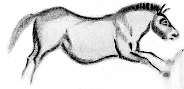
The female shape, for its part, has been read as a symbol of fertility, a recurring theme in the art of this period. What changes with the new study is that this symbolism of the body would not stand alone: it would enter into dialogue with the hydraulic arrangement built into the floor. The researchers suggest that the sandstone was cut so as to lead rainwater toward the zone associated with the female representation, as if to link flow, fertility and the body. Water, the source of life, would thus have been staged at the very foot of the engraved image.
This association between the body, water and territory is one of the most fascinating aspects of the case. It reminds us that, for these populations, a place could be both practical and sacred, both map and story. The modern separation between utilitarian geography and religious symbol probably did not operate in the same way thirteen thousand years ago.
A floor sculpted to channel water
The core of the demonstration rests on a careful analysis of the sandstone floor. By mapping the hollows, slopes and basins, Médard Thiry and Anthony Milnes reconstructed the path that rainwater follows when it enters the shelter. They describe a network of channels that collect the water, guide it and gather it into small basins, in the manner of rivers flowing into a pool. When it rains, this arrangement comes alive: the water circulates, divides, rejoins, and gives life to a miniature landscape.
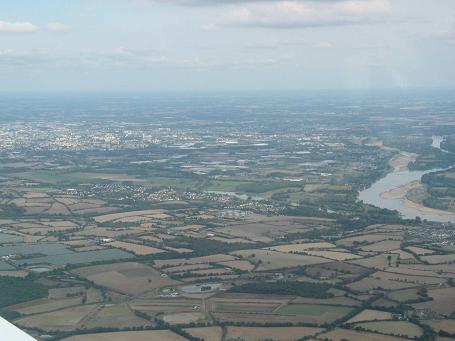
According to the authors, these shapes do not match what natural erosion would have produced on its own. Certain slopes were accentuated, certain passages widened or deepened, so as to steer the water in a precise direction. The sandstone bears, they say, the marks of intentional work aimed at reproducing the logic of a drainage basin: the heights, the valleys, the points of confluence. In other words, this would not be a mere geological curiosity, but a deliberate human intervention, designed to imitate the hydrological functioning of a real territory.
This reading relies on the particular skills of Médard Thiry, a geologist who specialises in the Fontainebleau sandstones. His knowledge of how the rock behaves in the presence of water allowed him to distinguish, at least according to his analysis, what belongs to nature and what belongs to the hand of man. It is this geological expertise, applied to an archaeological site, that gives the hypothesis its strength and its originality.
Can we really speak of a map?
The word map is seductive, but it calls for caution. A map, in the modern sense, implies an intention to represent space faithfully, with proportions, orientation and a shared system of signs. Nothing proves that the inhabitants of Ségognole 3 conceived their arrangement in this spirit. This is why many researchers prefer more measured formulations, such as reduced model of the landscape, hydraulic model or proto-carteProto-mapA figurative representation of a territory predating maps in the modern sense; at Ségognole, a shaped floor evoking valleys and water flows.→. These terms better reflect a reality that we interpret, without immediately lending it the categories of contemporary cartography.
We must also remember that the hypothesis rests on the interpretation of shapes carved into a material that is naturally sculpted by water. Distinguishing human arrangement from erosion remains a delicate exercise, and other specialists may propose different readings. Publication in the Oxford Journal of Archaeology precisely submits these conclusions to scientific debate, as it should.4 This is therefore not an established certainty, but a solidly argued proposal, meant to be discussed, tested and possibly qualified.
This caution takes nothing away from the interest of the discovery. Even remaining in the conditional, the idea that a human group could, thirteen thousand years ago, have shaped stone to depict its environment and bring it to life through rain paints a striking picture of intellectual sophistication. It suggests a capacity for abstraction, spatial memory and storytelling about territory that we were once reluctant to grant to so called hunter gatherer societies.
What this changes in our view of Prehistory
If the interpretation is confirmed, Ségognole 3 would join the very small circle of places that force us to revise our prejudices about the abilities of prehistoric societies. For a long time, the idea of cartography was reserved for recent periods, associated with writingWritingA system of conventional signs used to fix language or information durably; its appearance (c. 3300 BC) marks, by convention, the end of prehistory.→ and states. Yet depicting space, in three dimensions and in a dynamic way, would belong to an already highly elaborate mode of thought, capable of translating a real landscape into a model that can be manipulated and endowed with meaning.
The Ségognole 3 arrangement combines several registers that, to our modern eyes, seem distinct: geography, with the representation of a drainage basin; technique, with the control of water flow within the sandstone; and symbol, with the association to the female body and to fertility. This interweaving of the concrete and the sacred is perhaps the most deeply prehistoric feature of the whole. It reminds us that our ancestors did not necessarily separate practical knowledge from belief, nor the map from the myth.
Much remains to be understood. How was this place used? Was it a teaching aid, a ritual space, a memory device for moving across the territory, or all of these at once? Future research, combining geology, archaeology and the study of ancient landscapes, will be able to refine the dating, clarify the extent of human intervention and shed light on the function of this astonishing model. Whatever the case, the Ségognole 3 shelter is a brilliant reminder that Prehistory has not finished surprising us, and that stone, patiently read, still holds the memory of the first gestures by which humankind sought to represent its world.
Depuis que j'ai découvert ce site, je prépare mes voyages patrimoniaux différemment.
On a passé toute une soirée à parler de ça en famille. Merci pour ce moment !